
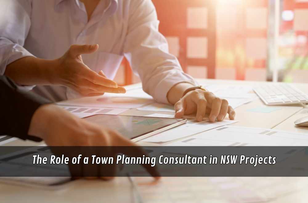
Every project starts with a sketch and a hope—and then meets reality: neighbours, traffic, stormwater, heritage, setbacks, and deadlines. The first time I fronted council alone, I learned the hard way that sequence beats enthusiasm. Since then, I’ve leaned on a town planning company to frame proposals, set evidence paths, and keep decisions moving. When planning sits at the table from day one, design ambition stays intact while risks shrink. You end up with fewer surprises, calmer meetings, and submissions that read like solutions instead of requests.
What good planning actually does
Planning isn’t paperwork; it’s the map from idea to approval. The best work happens before drawings go too far.
Context reading: Interprets controls, precedents, and constraints so design responds to the street and policy.
Risk triage: Flags conflicts early—overshadow, view loss, traffic pinch-points—so mitigation is designed in, not bolted on.
Evidence path: Schedules reports (traffic, acoustic, flooding, ecology) so the story lands as one coherent package.
Stakeholder rhythm: Times briefings with neighbours and agencies to solve problems while solutions are still cheap.
Done well, planning turns an application into a narrative: here’s what exists, here’s what changes, here’s why it improves how the site works for everyone.
Navigating approvals without delays
Approvals hinge on clarity and sequence. When the submission follows the assessor’s logic, reviews run smoothly.
Control alignment: Maps LEP/DCP controls to drawings so compliance is obvious rather than implied.
Decision cues: Summarises key departures with reasons that are practical, measurable, and legible on plans.
Report cadence: Delivers specialist inputs in the order assessors read them—context first, then impacts and mitigation.
Condition readiness: Offers workable draft conditions where appropriate to speed resolution instead of trading emails.
The mechanics are anchored by development assessment, which outlines how proposals are evaluated in NSW. Align a submission with that process, and you make the assessor’s job easier—which is the fastest way to make your project real.
Aligning design, infrastructure, and place
Great outcomes look effortless because services and surroundings were considered early.
Transport fit: Checks parking supply, access geometry, and pedestrian desire lines before traffic becomes a red flag.
Water logic: Plans on-site detention, WSUD elements, and flood behaviour so performance is built-in, not retrofitted.
Amenity balance: Tests overlooking, noise, and solar access with sections and sightlines, not just good intentions.
Landscape structure: Uses canopy, understorey, and deep soil to cool the microclimate and anchor privacy naturally.
When these layers line up, drawings stop fighting the site. Meetings get shorter because the design already answers the usual “what about…” questions.
Evidence, reports, and the order that persuades
Assessors read in patterns; your documentation should, too. I learned this on a mixed-use scheme where a simple re-order turned debate into nods.
Start with the place: Lead with context analysis and planning compliance tables to set shared ground.
Quantify impacts: Use certified traffic, acoustic, and overshadow diagrams to replace guesswork with numbers.
Show mitigation: Pair each impact with a designed response—screens, setbacks, glazing specs, planting—drawn and dimensioned.
Close the loop: Summarise net benefits with plain metrics: extra homes, trees planted, runoff reduced, jobs created.
That sequence respects how officers think: evidence first, outcomes second, benefits last. It’s persuasive because it’s practical.
Community engagement that lowers friction
Most objections begin with uncertainty. Early, honest contact reduces heat and reveals solutions you can live with.
Plain-language briefs: Share what’s changing, why, and how overshadow and privacy are handled without jargon.
Two-way formats: Use drop-ins or small forums that invite questions and record commitments in writing.
Visible updates: Reflect genuine changes on drawings so people see their input, not just hear it.
Construction etiquette: Flag haul routes, hours, and contacts so neighbours know what happens next.
Engagement isn’t theatre; it’s design intelligence. Projects read better—and live better—when the local grain is taken seriously.
Digital tools that speed decisions
Data doesn’t replace judgment, but it shortens debates.
3D sun studies: Demonstrate real overshadow envelopes at solstice hours so fear gives way to facts.
View and privacy tests: Model sightlines from key windows and balconies to prove how overlooking is controlled.
Traffic simulation: Visualise queuing and turning so access works on both busy and quiet days.
GIS layering: Stack flood, heritage, biodiversity, and services to avoid hidden constraints.
I’ve seen a two-minute animation end a 20-minute argument; once everyone sees it, they move on to solving, not doubting.
Choosing the right partner for your project
Teams that think like assessors reduce cycles and surprises.
Evidence of method: Look for submissions that show the messy middle—tables, tests, and tracked changes—not just hero renders.
Local fluency: Prior experience with the same council area shortens translation between policy and plan.
Interdisciplinary reach: Planners who coordinate traffic, ecology, and heritage keep narratives consistent.
Clear, honest scope: Proposals that state inclusions, exclusions, and meeting cadence prevent drift.
Understanding why town planning services matter often lands on one point: planning is most valuable when it’s invisible because it keeps everything else clear.
Procurement, staging, and conditions you can live with
Winning consent is step one; living with conditions is step two. Plan for both.
Buildability checks: Test crane swings, laydown space, and neighbour clearances so consent doesn’t create site headaches.
Staged approvals: Where possible, separate early works from detailed packages to de-risk timelines.
Condition mapping: Translate consent conditions into a live checklist shared by design and site teams.
Post-occupancy logic: Bake maintenance and owner obligations into handover so compliance doesn’t slip.
The calmest projects treat “approval” as a milestone, not the finish line—then hit the ground running.
Where the profession is heading
The expectations on projects are rising: climate, housing supply, safety, and neighbourhood character—often at once.
Net-benefit framing: Consents increasingly weigh public gains alongside compliance boxes.
Climate readiness: Heat, water, and resilience strategies are becoming table stakes, not add-ons.
Evidence-first culture: Councils want traceable numbers and diagrams that stand up beyond one officer.
Design with care: Amenity is read through lived experience—shadows, breezes, noise—shown plainly, not just stated.
In that context, the evolving role of town planning looks less like gatekeeping and more like coordination—aligning ambitions with constraints so places feel better, not just bigger.
Bringing it together
A capable planning partner doesn’t promise shortcuts; they build a path that avoids dead ends. Read the place, set the evidence, front-foot the risks, and speak in the assessor’s order. Engage early, show the impacts, and design the fixes into the drawings. Then treat conditions as part of delivery, not an afterthought. When planning works like this, proposals stop feeling like pleas and start reading as solutions—projects that respect neighbours, policy, and the way a street actually lives, while still delivering the homes, workplaces, and spaces that cities need.


Write a comment ...